What is GIS?
GIS, or geographic information systems, are computer-based tools used to collect, create, store, visualize, analyze, and interpret geographic data.
Geographers recognized the importance and unique features of space two thousand years ago. Topography and natural resources are location-specific attributes that influence the incidence of diseases as well as opportunities for prevention and intervention.
GIS Data Types
Geographic data (also called spatial, or geospatial data) identifies the geographic location of features. These data include anything on the globe that can be associated with a location. Roads, country boundaries, and address are all types of spatial data.
Geographically-referenced attribute data describes features of the population such as death certificates, trauma registries, census data, land and property data, and EMS provider data. Attribute data is "geo-referenced" to a location-specific value.
The combination of multiple geo-referenced data sets allows GIS to create powerful spatial analyses.
Uses of GIS
The most common ways in which GIS technology may be used are:
• Management of resources.
• Environmental impact assessment.
• Infrastructure development.
• Choosing strategic market locations by companies.
• Demographics and population studies.
• Increasing accessibility of health care services.
• Finding more cost-effective health care delivery modes.
• Analyzing patients’ present and future health care needs.
• Identifying a hospital's most profitable services.
• Logistics in times of natural disasters for emergency response teams.
• Planning for environmental protection efforts by governmental authorities.
• Monitoring diseases and pandemics by agencies to identify patterns of occurrence.
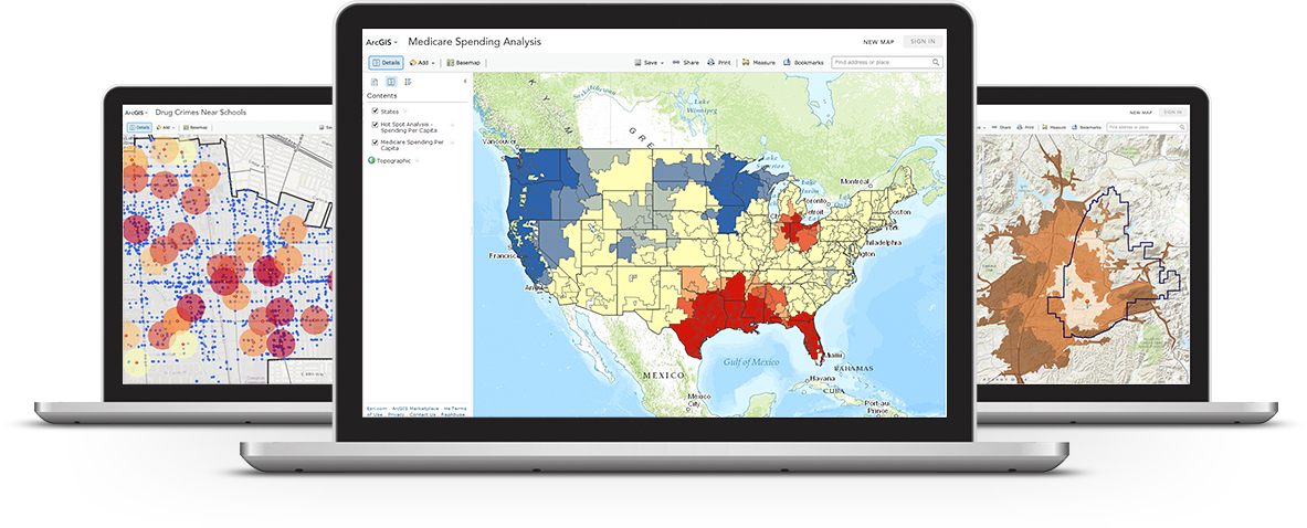
Training and Support
Calder Library will offer a Geographic Information Systems Workshop focusing on Public Health Applications of GIS that introduces attendees to the ArcGIS Desktop software, ArcGIS Online, and Community Analyst. The ArcGIS software is licensed by UM for non-commercial research and education.
The workshop will be on November 7, 2016, from 10 am -12 pm, in the Library's 3rd Floor Classroom. Seats are limited.
RSVP at to reserve your seat.
GIS Librarian, Abraham Parrish, is also available for one-on-one consultation on Tuesdays from 3-7 pm on the first floor of Calder Library. Walk-ins are welcome.
![]()