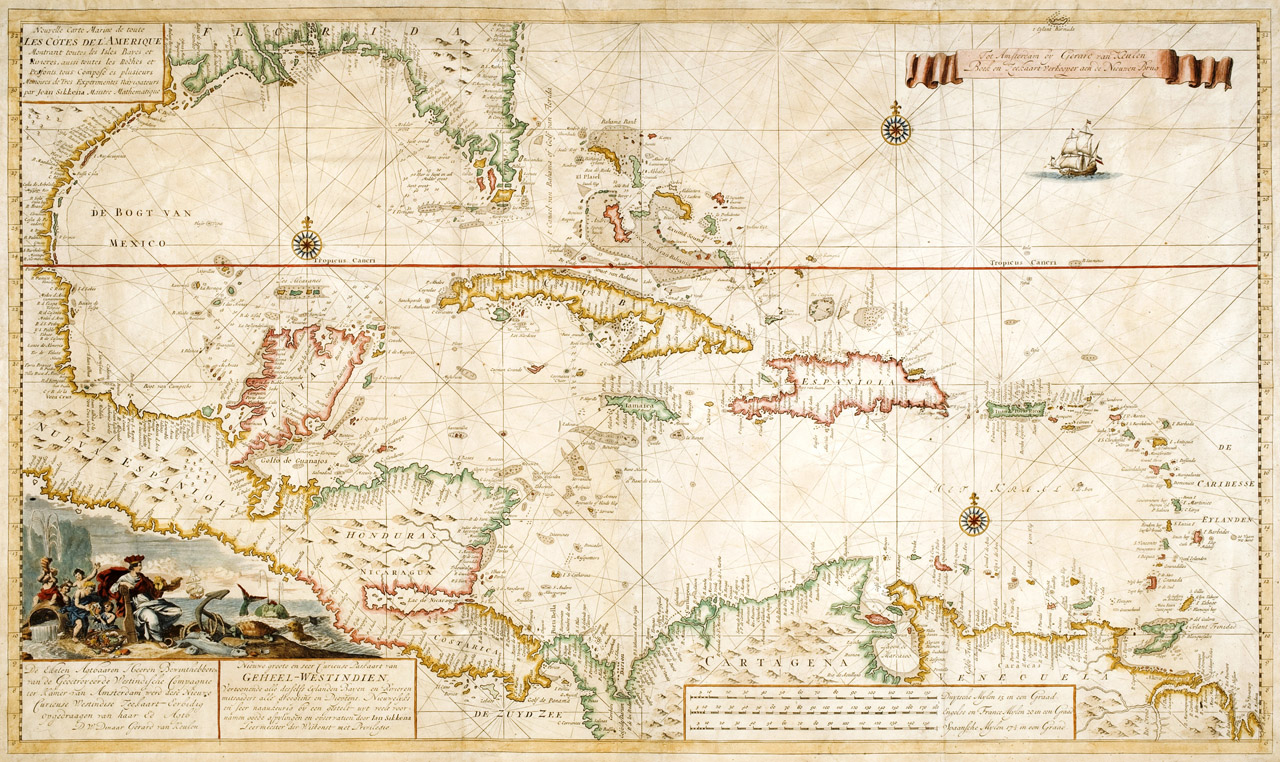
Nouvelle carte marine de toute les cotes de l'Amerique..., Amsterdam, ca. early 1700s.
By Van Keulen, Gerard (ca. 1678 - 1727).
Van Keulenís rare map of the Caribbean, Central America, and Florida resembles a portolan chart, an early European navigation chart with rhumb lines that radiate from compass points or in the direction of the wind. The map features three compass roses, a decorative cartouche, a sailing ship, and very detailed information of the coasts; Florida, alone, has about fifty labels. The van Keulen family were notable sea chart publishers in the late seventeenth and eighteenth centuries.
From The Helen Carmichael Purdy Foundation.
Click to access the catalog record.
